Fil:North Sea location map.svg

Size of this PNG preview of this SVG file: 511 × 599 pixels. Andre opløsninger: 205 × 240 pixels | 409 × 480 pixels | 511 × 600 pixels | 655 × 768 pixels | 873 × 1.024 pixels | 988 × 1.159 pixels.
Oprindelige fil (SVG fil, basisstørrelse 988 × 1.159 pixels, filstørrelse: 582 KB)
Beskrivelse
| Beskrivelse |
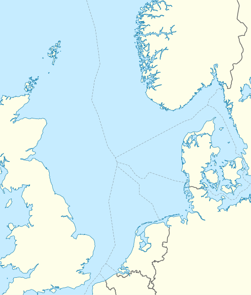
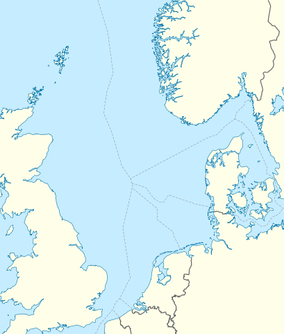
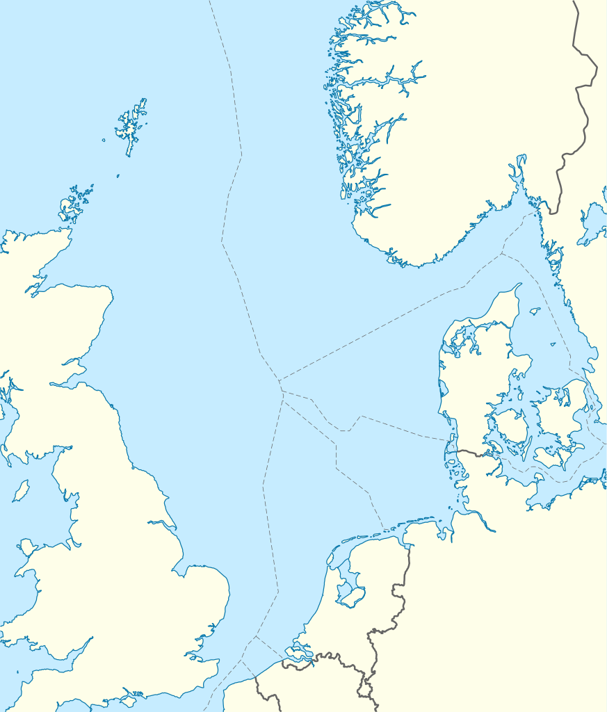
Deutsch: Positionskarte der Nordsee
Quadratische Plattkarte, N-S-Streckung 180 %. Geographische Begrenzung der Karte:
English: Location map of the North Sea
Equirectangular projection, N/S stretching 180 %. Geographic limits of the map:
|
|
| Dato | ||
| Kilde | own work, using World Data Base II data | |
| Forfatter | NordNordWest | |
| Tilladelse (Genbrug af denne fil) |
Denne fil er udgivet under Creative Commons Navngivelse – Del på samme vilkår 3.0 Tyskland-licensen.
 Denne fil er udgivet under Creative Commons Navngivelse – Del på samme vilkår 3.0 Tyskland-licensen.
|
|
| Andre versioner |
Derivative works of this file:
|


|
This map has been made or improved in the German Kartenwerkstatt (Map Lab). You can propose maps to improve as well.
|
Filhistorik
Klik på en dato/tid for at se den version af filen.
| Dato/tid | Thumbnail | Dimensioner | Bruger | Kommentar | |
|---|---|---|---|---|---|
| nuværende | 18. jun 2010, 08:49 | | 988 × 1.159 (582 KB) | NordNordWest | == {{int:filedesc}} == {{Information |Description= {{de|Positionskarte der Nordsee}} Quadratische Plattkarte, N-S-Streckung 180 %. Geographische Begrenzung der Karte: * N: 62.5° N * S: 50.5° N * W: 5.2° W * O: 13.2° O {{en|Location map |
Filanvendelse
De følgende 5 sider henviser til denne fil: