Fil:North Yorkshire UK relief location map.jpg

Størrelse af denne forhåndsvisning: 800 × 582 pixels. Andre opløsninger: 320 × 233 pixels | 640 × 466 pixels | 1.024 × 745 pixels | 1.280 × 932 pixels | 1.999 × 1.455 pixels.
Oprindelige fil (1.999 × 1.455 punkter, filstørrelse: 466 KB, MIME-Type: image/jpeg)
| Beskrivelse |
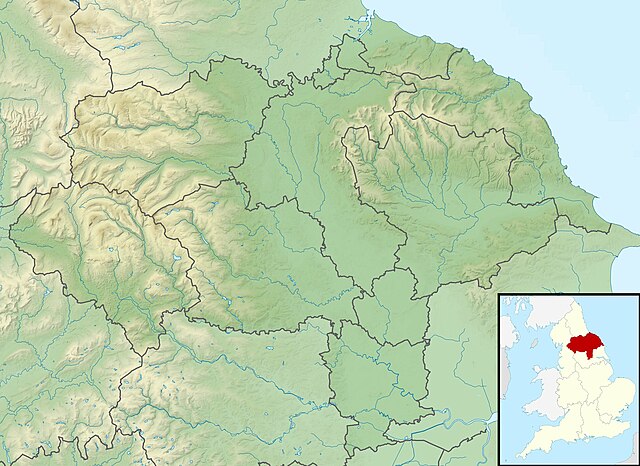
Relief map of North Yorkshire, UK. Equirectangular map projection on WGS 84 datum, with N/S stretched 170% Geographic limits:
|
| Dato | |
| Kilde |
|
| Forfatter | Nilfanion, created using Ordnance Survey data |
| Tilladelse (Genbrug af denne fil) |
Denne fil er udgivet under Creative Commons Kreditering-Del på samme vilkår 3.0 Ikke-porteret-licensen Kreditering: Contains Ordnance Survey data © Crown copyright and database right
|
| Andre versioner | File:North Yorkshire UK district map (blank).svg - Blank map |
.svg)
Filhistorik
Klik på en dato/tid for at se den version af filen.
| Dato/tid | Thumbnail | Dimensioner | Bruger | Kommentar | |
|---|---|---|---|---|---|
| nuværende | 29. nov 2011, 01:47 | | 1.999 × 1.455 (466 KB) | Nilfanion | {{Information |Description=Relief map of North Yorkshire, UK. Equirectangular map projection on WGS 84 datum, with N/S stretched 170% Geographic limits: *West: 2.60W *East: 0.10W *North: 54.67N *South: 53.60N |Source=[[w:Ordnance S |
Filanvendelse
De følgende 2 sider henviser til denne fil: